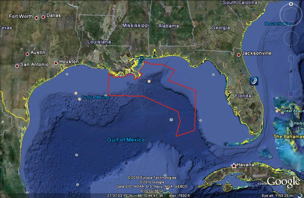
 This is a KML file produced to show the fishing boundary restrictions resulting from the Deep Water Horizon oil spill. Points were determined using longitude and latitude from a provided NOAA map and then converted to decimal degrees in Excel. The xy coordinates were then imported into arcmap and the final product was exported to the KML file.
Very interesting project, main issues were utilizing the trace function efficiently.
Part 2 encountered problems with my computer, the server and my mind I GIVE UP!!
No comments:
Post a Comment